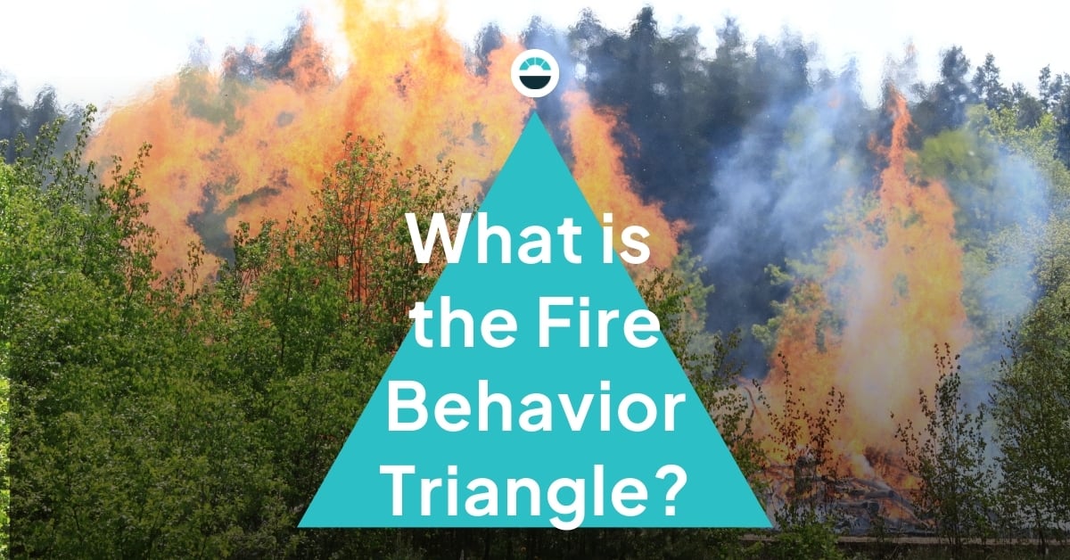
Wildfire behavior is influenced by three main factors: fuel, topography, and weather. Together, they're known as the Fire Behavior Triangle.
To predict how a real wildfire might spread or run a reliable simulation, you need accurate data for all three sides of the triangle. You need to understand the load, arrangement, condition, and variation of fuels in the area. You need to know current and forecast weather conditions to see how weather might move, suppress, or feed the fire. And you need to account for topographical variations to understand natural features that might slow, accelerate, or otherwise impact the behavior of the fire.
Moving forward, we’ll…
- Define “fuel” as it pertains to wildfires
- Illustrate why you need to understand weather to detect and fight fires
- Explore why topography and physical features of the land are key to fire behavior
- Explain how mastering the behavior triangle translates to improved outcomes in the field
What is wildfire fuel?
Fuel is the material that fire burns – the living or previously living material that feeds, carries, and is consumed by the fire. That means trees, shrubs, grasses, and even manmade structures are all considered fuel.
For study and modeling purposes, those different kinds of wildfire fuel are broken down into types. Depending on how specific you’re looking to get, there are as many as 200 different identified global fuel types that can help wildland fire professionals understand their risk profiles in as much detail as possible.
.jpg?width=756&height=187&name=Wildfire_DaaS_Inline_Blog_Banner_with_Background%20(1).jpg)
A list of what fuels exist in your area is just the beginning, though. It’s also important to understand their structure and arrangement to model out how a fire might spread through the canopy and accelerate or slow based on the density and bulk of what it encounters.
You also need to understand the conditions of the fuel: Is it alive or dead? Is it wet or dry? Dry, dead material obviously burns more readily than living, damp material. Those conditions are strongly influenced by the weather.
Why weather and wildfire monitoring go hand in hand
In the context of fire behavior, weather is the current and recent conditions in an area in terms of temperature, humidity, precipitation, wind, and so on. Those factors impact the moisture level of fuel, affecting how likely it is to ignite and how quickly a fire can spread. Once a fire starts, wind can either suppress or feed it, depending on conditions.

Furthermore, lightning from storms is the ignition source for roughly 10-20% of all wildfires. Those fires often start in remote areas where it’s challenging to detect and mitigate the blaze before it grows out of control, so lightning-ignited fires damage disproportionately high acreage.
That’s why you need to have detailed knowledge of recent conditions to understand your real-time risk profile, and you need real-time information to understand where the weather could be turning that risk into a hazard. Fire weather monitoring stations paired with storm tracking and lightning detection can help you achieve both.
How topography affects wildfires
Topography is the shape of the land, specifically changes in elevation and slope. It informs what kind of fuel is available and how it will experience that weather. Different plants and trees grow in different elevation zones, and the same weather system creates very different conditions on the top of a mountain than it does at sea level.
That means fuels conditions can vary drastically in what might look like a localized area on a flat map. Without a good understanding of local topography, you can’t accurately project how a fire might develop or spread in a given area.
Another factor at play is that sudden changes in topography can affect fire behavior. Fire actually moves faster as it climbs a slope, so understanding whether a wildfire is moving upward or downward in terms of elevation is key to developing a timely containment strategy.
Topographical features can also provide natural firebreaks. For example, if a low-burning fire reaches a rocky cliff face where the next available fuel is several hundred feet upward, the fire will be unable to continue moving that direction (or at least it will be significantly slowed down).
Again, understanding where natural and geological features might help or hamper a containment effort is key to timely mitigation and keeping firefighters safe.
How can understanding the behavior triangle improve wildfire outcomes?
With all three pieces of the behavior triangle accounted for, you can predict fire behavior with a strong degree of certainty. When you can predict behavior with a strong degree of certainty, you can use resources better, contain wildfires more quickly, and keep both the public and wildland fire professionals safer. That’s the bottom line.
If you’re a wildland fire leader, emergency coordinator, or land management manager looking to deploy resources, fight fires, and communicate with each other and the public in a more targeted, data-driven manner that improves outcomes, AEM can help.
Our AEM Elements® 360 platform is specifically designed to help first responders, local leaders, and private sector partners collaborate over wildfire risk knowledge, ignition detection, and timely mitigation.
Concerned about wildfires in your area? It’s time to sit down for a conversation with AEM.