Charlotte, North Carolina, and the surrounding communities of Mecklenburg County are no strangers to flood risk and pollution challenges. However, to develop a fully mature flood and water quality monitoring program, they had to go through some growing pains. Many other environmental monitoring programs – whether publicly or privately operated – could learn a lot from the way this team has successfully handled its growing pains.
To understand the process they went through, I sat down with the officials who oversee flood and water quality management at Charlotte-Mecklenburg Storm Water Services. Josh McSwain oversees the county’s Flood Information Notification Service (FINS), and Ryan Spidel supervises the surface water quality monitoring program, which is known as the Continuous Monitoring and Alert Notification Network (CMANN). This blog pulls together the most important insights from that conversation to help you understand:
- The growth of Charlotte-Mecklenburg's flood and water quality sensing network.
- How that growth led to challenges for the area.
- What Charlotte-Mecklenburg did to overcome its challenges and reach maturity.
- Where the region is going from here.
Growth of the Charlotte-Mecklenburg water monitoring network
Home to more than 60 streams and sitting at a hydrological divide, the Charlotte-Mecklenburg area contains a vast network of flood-prone headwaters. Pollution in those headwaters can impact water quality for many miles downstream. To help officials keep up with the county’s flood and water quality issues, Charlotte-Mecklenburg Storm Water Services has steadily amassed a large network of different sensors, gauges, and cameras.
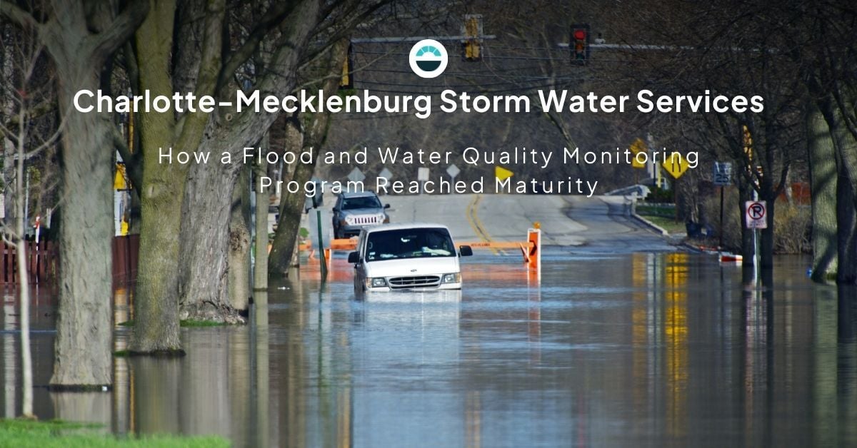
It started after two major flood events in 1995 and 1997, which caused more than $65 million in damage and claimed several lives. That was when FINS was established as a cooperative program between the U.S. Geological Survey (USGS) and Storm Water Services. The program provided Storm Water Services with access to data and alerts from USGS-maintained sensors and gauges in the area.

Since its inception, the FINS program has seen significant growth. Starting with about 12 stream gauges and 14 rain gauges, it has grown to include 52 stream gauges, 72 rain gauges, 65 low-cost flood sensors, and a number of cameras. On top of that, CMANN collects water quality data from 35 different sites, which brings the total number of data collection sites to 124.
The growth of the Storm Water Services monitoring network has been critical for helping both Josh’s and Ryan’s teams with the daunting challenge of managing flood and water quality issues across nearly 20,000 acres of floodplain and hundreds of miles of streams. Unfortunately, growth often comes along with growing pains.
A water monitoring program encounters growing pains
Many of the information sources across the water monitoring network use different encoding and communication protocols. Reliance on such disparate information sources has introduced its own set of challenges.
- Data was fragmented.
As Josh puts it, “The frustration that we were experiencing…was having to build separate applications to view data, to edit.” With data spread across different applications, it was more difficult to analyze in meaningful ways that supported real-world decision-making.
- Alerting capabilities were limited.
While the teams had the ability to generate alerts from incoming data, there was very little opportunity for customization, and the alerts often provided less information than responders needed to fully understand the situations they were entering. That meant staff sometimes had to go into the field with limited situational awareness, which wasted time and carried the potential to endanger lives. - The integration between data and camera imagery was insufficient.
While objective data plays an essential role in identifying potential flood and pollution issues, it often tells only a small part of the overall story. That’s where camera imagery comes in; it is much easier for the human eye to interpret. However, camera imagery is only helpful when placed in the context of adequate data, such as date-time stamps, geo-location, etc. The teams needed a better way to integrate camera imagery with the rest of the data they were collecting.
The Charlotte-Mecklenburg water monitoring program finally reaches maturity
For Charlotte-Mecklenburg Storm Water Services, the key to developing a fully mature flood and water quality monitoring program was finding a way to effectively integrate all the disparate data sources within the county’s gauge, sensor, and camera network. And that key turned out to be AEM’s Contrail® platform.
As Josh explains, “When Contrail came on board, it was our one-stop toolbox – all the alarming, dashboards – everything that we had in multiple locations before were now consumed into one toolbox…it finally all came together when we installed Contrail.” With the help of AEM and Contrail, the teams at Storm Water Services can now:
- Seamlessly integrate data from a wide variety of sources that incorporate different formats and encoding.
- Utilize comprehensive dashboards that feature intuitive data visualization. Charts, graphs, widgets, images, and maps are tightly integrated to support real-life decision-making.
- Leverage robust notification and alarming options based on customized thresholds and multiple communication options. Alerts can include links back to dashboards to provide better situational awareness in the field.
Continuing the growth
Many of us continue to learn and grow long after we reach maturity. The environmental monitoring program at Charlotte-Mecklenburg Storm Water Services is no different. They’ve seen what they can accomplish by integrating their flood and surface water quality programs onto the Contrail platform. Now, they are looking to build on that success by bringing additional environmental monitoring efforts, such as air and groundwater quality, onto the platform.