Not so long ago, there was a clearly defined “wildfire season,” but as major wildfires are growing into a year-round challenge and the average fire is becoming more destructive, it’s more important than ever for teams across the community with a stake in wildfire readiness, detection, and response to work together.
Moving forward, we’ll explore…
- The key stakeholders in community wildfire readiness
- The key characteristics or strategies of a wildfire-ready community
- How teams with a stake in wildfire risk management can take the next step forward toward community readiness
Wildfire-ready communities know fire risk management is a shared responsibility
Much of the public probably assumes that fire departments and districts are responsible for the bulk of wildfire risk management, but that’s actually an oversimplification, especially as wildfires are getting bigger and more damaging on average. Here’s a breakdown of the key stakeholder groups:
- Local Government: City and county leaders have a responsibility to ensure their communities are prepared to face and recover from a wildfire event.
- Energy Utilities: Power utility infrastructure in the wildlands and wildland-urban interface increases the potential impact and scope of fires.
- Fire Districts: Professional fire teams provide the boots on the ground when a potential ignition develops or a wildfire rages.
- Land Management Agencies: The stewards of public land and priceless natural resources need to do their best to prevent major fires in the wildlands.
In order to fireproof a community, those four teams need a shared understanding of the challenge and a clear framework for collaboration in the name of public safety. By working together, each team or agency can make the most of their budget and potential impact without any single group needing to own the threat of a wildfire from end to end.
Wildfire-ready communities use weather monitoring for fire danger rating
It’s impossible to know exactly when and where a wildfire will happen ahead of time, but you can identify your areas of greatest potential risk and understand key moments of increased risk using weather monitoring stations and sensors.
By deploying stations across your service area, you can carry out a study of hyperlocal temperature, humidity, wind, and even soil moisture conditions to understand where the biggest risks for wildfire ignition or rapid growth exist. That information will help you determine which locations or microregions you’ll need to monitor most closely on an ongoing basis and where to prioritize prevention actions like prescribed burns.
 Once you’re equipped with that knowledge, that same hardware network can be used as a fire weather monitoring system on a daily basis. By cross-referencing hyperlocal real-time observations and the National Weather Service’s National Fire Danger Rating System forecast, you can create a deep, personalized understanding of your areas of greatest wildfire risk to support preparedness and proactive response.
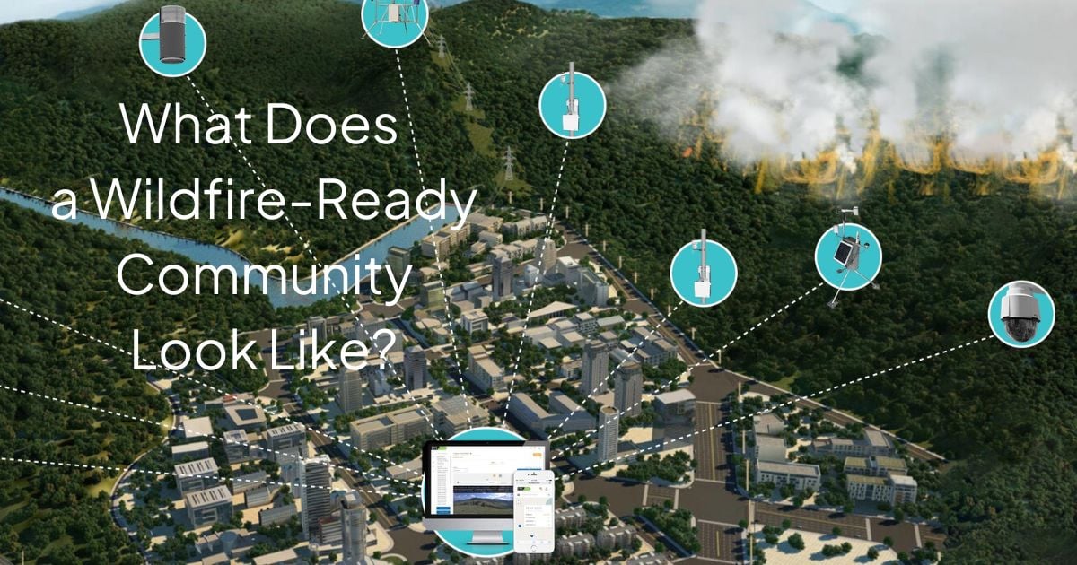
Wildfire-ready communities are constantly visualizing high-risk locations
Areas of increased wildfire risk can take a few different forms. Maybe there’s utility infrastructure in the wildlands near significant fuel. Maybe there’s a residential development on the edge of an especially dry canyon. Maybe there are regions within a managed forest where rainfall has been consistently low for several years.
.jpg?width=756&height=187&name=Banner_1%20(3).jpg)
Once those areas have been identified, either through community knowledge or using a weather/fire risk mapping study, it’s important to monitor them especially closely. That includes ongoing weather monitoring campaigns as well as visual intelligence from wildfire camera solutions. Wildfire cameras can bring a 360-degree view of high-risk locations to a wildfire command center or intelligence hub, allowing a fire monitoring professional to review curated images from a bird’s eye view or drive the camera in real time to focus in on areas of high interest or potential ignitions.
Wildfire-ready communities know about every lightning strike in their area
Lightning can easily provide an ignition source for dry tinder or utility equipment, making it nature’s favorite fire-starter. In Canada, for instance, lightning is recognized as the cause of at least 45% of all fires, and lightning-related fires represent 81% of the total area burned each year.

Given those facts, lightning awareness and detection are key for any community or business that’s trying to figure out where small wildfires may be igniting in order to provide a swift, impactful mitigation effort. By subscribing to a lightning mapping and alerting service, a fire/weather monitoring team can receive instant alerts for any cloud-to-ground lightning strike in their area.
When the wildfire team gets a lightning alert, they can use their cameras to visualize the location of the potential ignition, pull data from nearby weather stations to provide real-time intelligence into the ground-level situation and possible spread, and contact a fire assessment and mitigation team with exact coordinates that enable a swift, decisive response.
Wildfire-ready communities have great interagency communication
Wildfire risk management, detection, monitoring, and response are shared responsibilities across a variety of stakeholder teams within a community. With that said, when wildfire risks present themselves, everybody must be able to act as one in order to provide the best outcomes for the community.

For example, real-time weather data and visual intelligence from the field that might be the ongoing responsibility or a corporate risk management team needs to be extended to fire safety and response professionals in a rapid, digestible way in the event of a potential ignition. Getting that handoff right and keeping the intelligence flowing requires a clear, organized framework for interagency communication as well as a software framework that makes the data easy to extract and share in a way that makes sense at a glance.
Take your next step as a wildfire-ready leader
If you work in local government, emergency response, land management, or are a member of a risk management team at a power utility, you have an opportunity and a responsibility to become a wildfire-ready leader within your community. Even if you don’t have the budget or authority to revitalize your area’s wildfire resilience on your own, you can get a meaningful conversation started with other area stakeholders to see how you can protect citizens, the local economy, and priceless natural resources better.
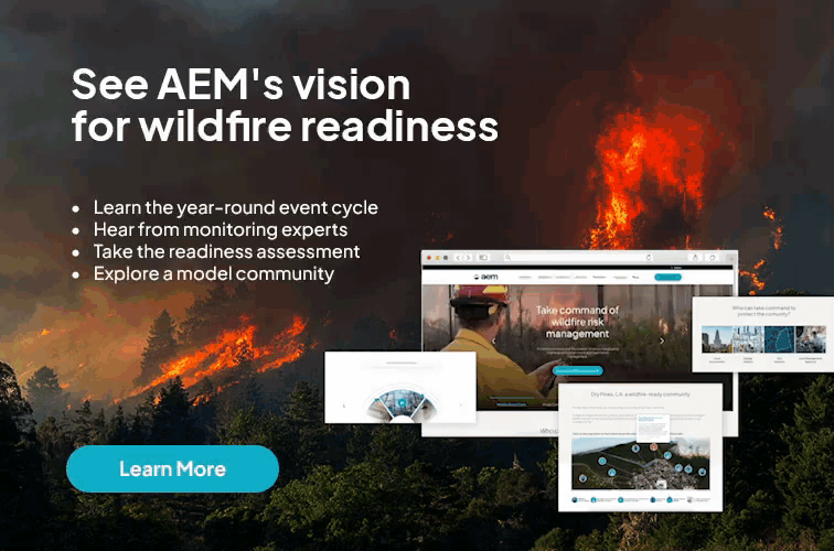
Trying to identify where to get started or where your areas of greatest potential value lie? Take the AEM Wildfire Readiness Assessment to understand your current level of readiness and next steps.
